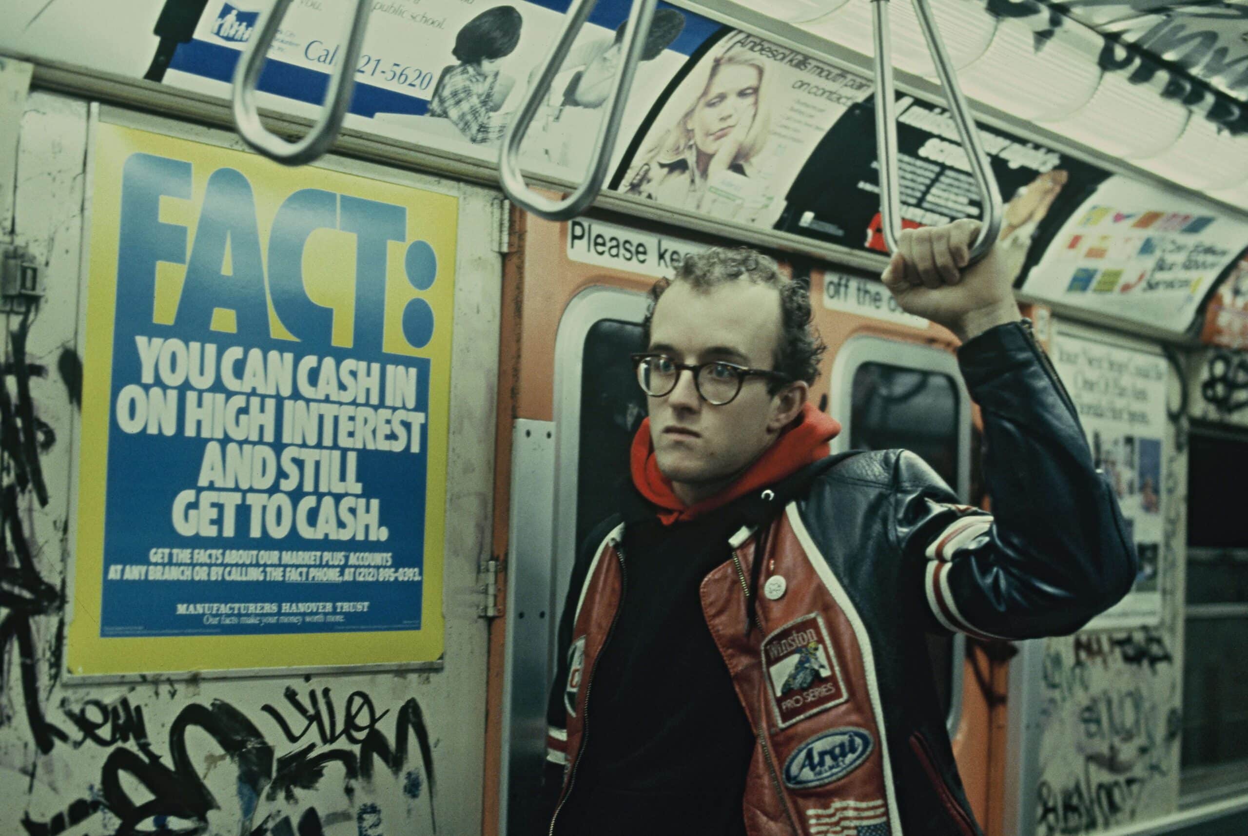
3 Mapping Technologies That Will Change How You See NYC
New York City has always been a city in flux, with compelling local histories buried as quickly as new histories are born. These three innovative mapping technologies from artists and developers worldwide allow users to explore the city in entirely new ways — all from the convenience of a smartphone or laptop. Don’t take NYC at face value; use these three tools to uncover the past, future, and hidden present of your city. 1. Surging Seas Surging Seas is an interactive map with a unique premise: displaying the coastline changes that would occur at various forecasted sea-level rises over the next century. The map was created by the ever-creative team at Stamen, a digital agency based in San Francisco with a special focus in mapping and research technologies. For Surging Seas, the developers aimed to differentiate themselves from existing forecast tools by creating a map that highlighted the “land that’s lost,” showing how even “minor” changes like the 13 feet rise caused by Hurricane Sandy can radically alter the shape of the city. 2. Spyglass …